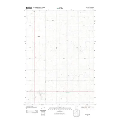
2013 Map of Hayfield
USGS Topo · Published 2013About this map
Hayfield serves as the primary hub of this landscape, situated at the intersection of MN-30 and MN-56. This Dodge County territory is defined by the drainage patterns of the S Fork Zumbro River and Salem Cr, which meander through a grid of rural roads like 210th Ave and 700th St. In the southern portion of the quadrangle, the local Po and the Fairview Cem provide points of reference for genealogists tracking family ties in the region. Further north, the settlement of Vlasaty sits along the highway, while Tucker Bridge spans the creek to the east. The map reflects a classic Midwestern agricultural layout, where the precise section lines dictate the placement of farmsteads and transport routes through the river valley.
Find a feature on this map
24 named features on this map. Tap any name to fly to it.
Don’t see what you’re looking for? This feature index may not catch every label — zoom into the map to look around manually.
Map Details
Editions of this 2013 Hayfield Map
This is the sole edition of this map. No revisions or reprints were ever made.
Other maps of this area

1953 · Saint Paul
USGS Topo · 1:250,000

1954 · Mason City
USGS Topo · 1:250,000

1955 · High Forest
USGS Topo · 1:62,500

1957 · Mason City
USGS Topo · 1:250,000

1958 · Mason City
USGS Topo · 1:250,000

1959 · Saint Paul
USGS Topo · 1:250,000

1965 · Dodge Center
USGS Topo · 1:24,000

1965 · Claremont
USGS Topo · 1:24,000

1965 · Byron
USGS Topo · 1:24,000

1966 · Waltham
USGS Topo · 1:24,000