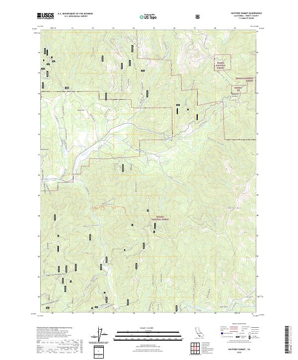
2022 Map of Hayfork Summit
USGS Topo · Published 2022About this map
Shasta National Forest and Trinity National Forest meet at this high-altitude divide, where the terrain is defined by a dense network of gulches and ridges. The Hayfork Divide runs through the northeastern section, marked by Hayfork Summit and reaching toward Wells Mtn. This landscape is primarily shaped by the hydrology of Hayfork Creek and its many tributaries, including Maxwell Creek and Duncan Creek. The presence of multiple named gulches, such as China Gulch, Negro Gulch, and Twobit Gulch, suggests a history of localized land use and exploration within these drainage systems. Connectivity in this remote area is maintained through a series of specialized routes like Bridge Gulch Rd, Carr Creek Rd, and the East Fork Divide Trl, which provide access to the deep interior of the national forests.
Find a feature on this map
68 named features on this map. Tap any name to fly to it.
Don’t see what you’re looking for? This feature index may not catch every label — zoom into the map to look around manually.
Map Details
Editions of this 2022 Hayfork Summit Map
This is the sole edition of this map. No revisions or reprints were ever made.
Other maps of this area

1890 · Red Bluff
USGS Topo · 1:250,000

1894 · Red Bluff
USGS Topo · 1:250,000

1909 · Big Bar
USGS Topo · 1:96,000

1913 · Weaverville
USGS Topo · 1:125,000

1915 · Big Bar and Vicinity
USGS Topo · 1:250,000

1931 · Hoaglin
USGS Topo · 1:96,000

1935 · Hoaglin
USGS Topo · 1:125,000

1950 · Weaverville
USGS Topo · 1:62,500

1951 · Hayfork
USGS Topo · 1:62,500

1951 · Chanchelulla Peak
USGS Topo · 1:62,500