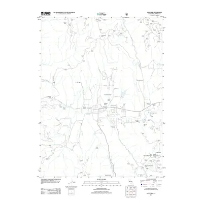
2012 Map of Hayfork
USGS Topo · Published 2012About this map
Hayfork serves as the central hub of this Northern California landscape, situated within the broad Hayfork Valley. The settlement pattern follows the drainage of Hayfork Cr and its many tributaries, with the Hayfork Airport and local Po anchoring the community. The surrounding terrain is defined by a dense network of gulches, such as Kellogg Gulch and Kingsbury Gulch, which carve into the highlands leading toward Thompson Peak.
Find a feature on this map
71 named features on this map. Tap any name to fly to it.
Don’t see what you’re looking for? This feature index may not catch every label — zoom into the map to look around manually.
Map Details
Editions of this 2012 Hayfork Map
This is the sole edition of this map. No revisions or reprints were ever made.
Other maps of this area

1909 · Big Bar
USGS Topo · 1:96,000

1915 · Big Bar and Vicinity
USGS Topo · 1:250,000

1918 · Anada
USGS Topo · 1:62,500

1931 · Hoaglin
USGS Topo · 1:96,000

1935 · Hoaglin
USGS Topo · 1:125,000

1951 · Hayfork
USGS Topo · 1:62,500

1951 · Hyampom
USGS Topo · 1:62,500

1954 · Pickett Peak
USGS Topo · 1:62,500

1954 · Dubakella Mtn
USGS Topo · 1:62,500

1958 · Redding
USGS Topo · 1:250,000