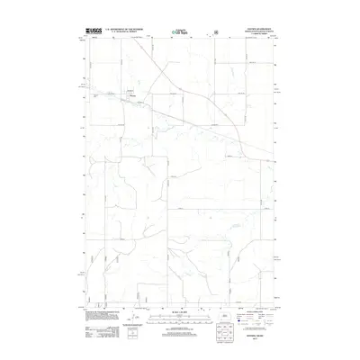
2012 Map of Haynes
USGS Topo · Published 2012About this map
Haynes serves as the central hub of this prairie landscape, situated where local roads like Brown St and Railway St define the settlement's early twentieth-century layout. The town is physically tied to the drainage of Flat Cr, which meanders eastward through the surrounding agricultural sections. Just west of the primary residential area, the Haynes Cem stands as a significant point of interest for genealogists tracing the legacy of homesteading families in this corner of Adams County. The rural infrastructure is characterized by a precise grid of section-line roads, including Haynes Rd and Nd Hcr 5, which facilitate the transport of livestock and grain across the state border region.
Find a feature on this map
24 named features on this map. Tap any name to fly to it.
Don’t see what you’re looking for? This feature index may not catch every label — zoom into the map to look around manually.
Map Details
Editions of this 2012 Haynes Map
This is the sole edition of this map. No revisions or reprints were ever made.
Other maps of this area

1953 · Dickinson
USGS Topo · 1:250,000

1954 · Lemmon
USGS Topo · 1:250,000

1957 · Dickinson
USGS Topo · 1:250,000

1957 · Lemmon
USGS Topo · 1:250,000

1974 · White Butte
USGS Topo · 1:24,000

1974 · Kid Rich Butte
USGS Topo · 1:24,000

1974 · Haynes
USGS Topo · 1:24,000

1980 · Mott
USGS Topo · 1:100,000

1983 · Lodgepole SE
USGS Topo · 1:24,000

1983 · Haynes SE
USGS Topo · 1:24,000