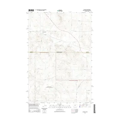
2014 Map of Haynes
USGS Topo · Published 2014About this map
Haynes sits along the northern edge of this Dakota borderlands survey, where the town grid is defined by Milwaukee Ave and Railway St. This small settlement serves as a local hub just north of the state line, with the Haynes Cem located on its western outskirts. South of town, the landscape transitions into the protected open expanses of the Grand River National Grassland, which spans across the boundary into South Dakota. The drainage of Flat Cr and Giles Cr meanders through the terrain, illustrating the natural watershed that precedes the more structured agricultural section lines. Transport through the region is anchored by Us-12, which cuts diagonally across the quadrangle, while local routes like Foss Rd and Freys Rd provide access to the outlying homesteads and range lands.
Find a feature on this map
30 named features on this map. Tap any name to fly to it.
Don’t see what you’re looking for? This feature index may not catch every label — zoom into the map to look around manually.
Map Details
Editions of this 2014 Haynes Map
This is the sole edition of this map. No revisions or reprints were ever made.
Other maps of this area

1953 · Dickinson
USGS Topo · 1:250,000

1954 · Lemmon
USGS Topo · 1:250,000

1957 · Dickinson
USGS Topo · 1:250,000

1957 · Lemmon
USGS Topo · 1:250,000

1974 · White Butte
USGS Topo · 1:24,000

1974 · Kid Rich Butte
USGS Topo · 1:24,000

1974 · Haynes
USGS Topo · 1:24,000

1980 · Mott
USGS Topo · 1:100,000

1983 · Lodgepole SE
USGS Topo · 1:24,000

1983 · Haynes SE
USGS Topo · 1:24,000