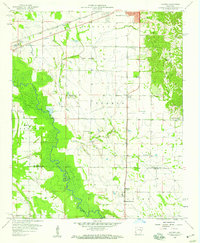
1958 Map of Haynes
USGS Topo · Published 1959About this map
L'Anguille River meanders through the heart of this landscape, its wide floodplain separating the flat agricultural Prairie from the rising elevations of Crowleys Ridge to the east. The settlement of Haynes serves as a local hub at the intersection of the Missouri Pacific railroad and regional roads, while the Chicago Rock Island and Pacific line cuts across the northern edge through Redfern and Longino. The cultural layout is defined by numerous small rural institutions, including Spring Grove School and several country churches like Harmony Chapel and Mt Vernon Church. The inclusion of a Drive-in Theater near Redfern reflects the mid-century transition toward automobile-centered recreation. This survey captures a moment when the regional economy was tightly bound to these rail corridors and the fertile lands surrounding Candy Creek.
Find a feature on this map
29 named features on this map. Tap any name to fly to it.
Don’t see what you’re looking for? This feature index may not catch every label — zoom into the map to look around manually.
Map Details
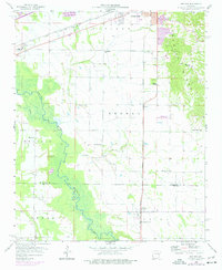
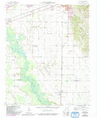
Editions of this 1958 Haynes Map
3 editions found
Other maps of this area

1939 · Park Place
USGS Topo · 1:62,500

1939 · Wynne
USGS Topo · 1:62,500

1940 · Whitmore
USGS Topo · 1:62,500

1940 · Marianna
USGS Topo · 1:62,500

1948 · Helena
USGS Topo · 1:250,000

1950 · Helena
USGS Topo · 1:250,000

1953 · Memphis
USGS Topo · 1:250,000

1955 · Park Place
USGS Topo · 1:62,500

1955 · Helena
USGS Topo · 1:250,000

1956 · Memphis
USGS Topo · 1:250,000