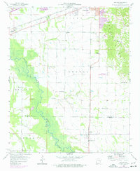
1958 Map of Haynes
USGS Topo · Published 1977About this map
The L'Anguille River meanders through the lowlands of Lee and St. Francis Counties, creating a stark contrast with the elevated terrain of Crowleys Ridge to the east. This landscape is defined by its agrarian roots and mid-century rural infrastructure, where the Chicago Rock Island and Pacific and Missouri Pacific railroads serve as primary transportation corridors. Small communities like Haynes, Longino, and Redfern are hubs for local life, supported by a dense network of country churches including Jerusalem Ch, Pilgrims Rest Ch, and Harmony Chapel.
Find a feature on this map
30 named features on this map. Tap any name to fly to it.
Don’t see what you’re looking for? This feature index may not catch every label — zoom into the map to look around manually.
Map Details
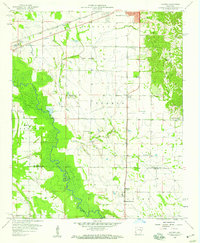
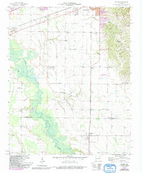
Editions of this 1958 Haynes Map
3 editions found
Other maps of this area

1939 · Park Place
USGS Topo · 1:62,500

1939 · Wynne
USGS Topo · 1:62,500

1940 · Whitmore
USGS Topo · 1:62,500

1940 · Marianna
USGS Topo · 1:62,500

1948 · Helena
USGS Topo · 1:250,000

1950 · Helena
USGS Topo · 1:250,000

1953 · Memphis
USGS Topo · 1:250,000

1955 · Park Place
USGS Topo · 1:62,500

1955 · Helena
USGS Topo · 1:250,000

1956 · Memphis
USGS Topo · 1:250,000