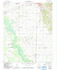
1958 Map of Haynes
USGS Topo · Published 1993About this map
Crowley's Ridge rises prominently in the northeast, creating a sharp topographical contrast with the lowland drainage basin of the L'Anguille River. This 1950s survey, updated with late-century developments, shows a landscape defined by small rural settlements and a dense network of country houses of worship. The southern edge of Forrest City expands toward the ridge, while the smaller community of Haynes anchors the southern portion of the map near the St. Francis and Lee County line. Local family and community history is well-preserved through numerous landmarks like Harmony Chapel, Jerusalem Ch, and Hodge Cem. The transition from the alluvial plains of Coffee Creek to the elevated ground of the ridge highlights the traditional settlement patterns where homes and schools like Evans Sch were established away from the frequently saturated river bottoms.
Find a feature on this map
22 named features on this map. Tap any name to fly to it.
Don’t see what you’re looking for? This feature index may not catch every label — zoom into the map to look around manually.
Map Details
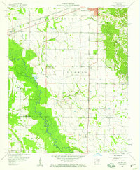
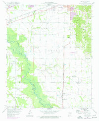
Editions of this 1958 Haynes Map
3 editions found
Other maps of this area

1939 · Park Place
USGS Topo · 1:62,500

1939 · Wynne
USGS Topo · 1:62,500

1940 · Whitmore
USGS Topo · 1:62,500

1940 · Marianna
USGS Topo · 1:62,500

1948 · Helena
USGS Topo · 1:250,000

1950 · Helena
USGS Topo · 1:250,000

1953 · Memphis
USGS Topo · 1:250,000

1955 · Park Place
USGS Topo · 1:62,500

1955 · Helena
USGS Topo · 1:250,000

1956 · Memphis
USGS Topo · 1:250,000