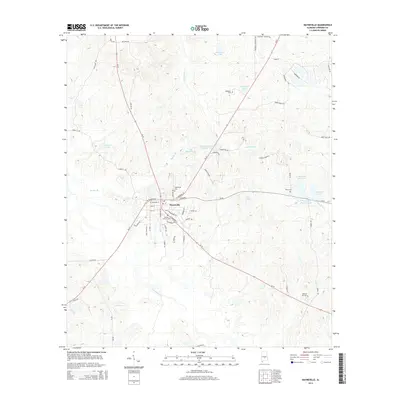
2014 Map of Hayneville
USGS Topo · Published 2014About this map
Hayneville serves as the central hub of this Lowndes County landscape, where a network of local roads like W Tuskeena St and S Commerce St converge. The town's layout reflects its role as a local seat of activity, surrounded by numerous family and community burial grounds that offer significant value for genealogical research. Locations such as Hayneville Cem, Mushat Gilchrist Cem, and Mcqueen Cem are scattered across the terrain, documenting generations of local inhabitants.
Find a feature on this map
64 named features on this map. Tap any name to fly to it.
Don’t see what you’re looking for? This feature index may not catch every label — zoom into the map to look around manually.
Map Details
Editions of this 2014 Hayneville Map
This is the sole edition of this map. No revisions or reprints were ever made.
Other maps of this area

1927 · Montgomery
USGS Topo · 1:48,000

1930 · Montgomery
USGS Topo · 1:62,500

1953 · Montgomery
USGS Topo · 1:250,000

1956 · Montgomery
USGS Topo · 1:250,000

1957 · Montgomery
USGS Topo · 1:250,000

1957 · Letohatchee
USGS Topo · 1:62,500

1957 · Autaugaville
USGS Topo · 1:62,500

1958 · Montgomery
USGS Topo · 1:62,500

1975 · Autaugaville SW
USGS Topo · 1:24,000

1975 · Autaugaville SE
USGS Topo · 1:24,000