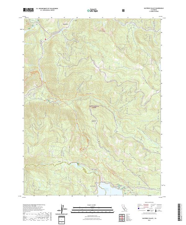
2021 Map of Haypress Valley
USGS Topo · Published 2021About this map
Bassetts serves as a small mountain hub in this high-elevation landscape within the Tahoe National Forest. The map details a complex hydrological network where the N Yuba River and Middle Yuba River are fed by numerous tributaries including Salmon Creek and Haypress Creek. Significant water management features are evident at Milton Reservoir and the expansive Jackson Meadows Reservoir near the southern boundary.
Find a feature on this map
58 named features on this map. Tap any name to fly to it.
Don’t see what you’re looking for? This feature index may not catch every label — zoom into the map to look around manually.
Map Details
Editions of this 2021 Haypress Valley Map
This is the sole edition of this map. No revisions or reprints were ever made.
Other maps of this area

1890 · Sierraville
USGS Topo · 1:125,000

1891 · Downieville
USGS Topo · 1:125,000

1891 · Colfax
USGS Topo · 1:125,000

1891 · Truckee
USGS Topo · 1:125,000

1892 · Sierraville
USGS Topo · 1:125,000

1892 · Colfax
USGS Topo · 1:125,000

1893 · Truckee
USGS Topo · 1:125,000

1893 · Downieville
USGS Topo · 1:125,000

1894 · Colfax
USGS Topo · 1:125,000

1894 · Sierraville
USGS Topo · 1:125,000