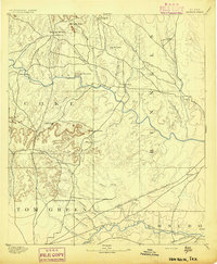
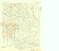
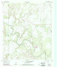
1894 Map of Hayrick
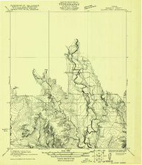
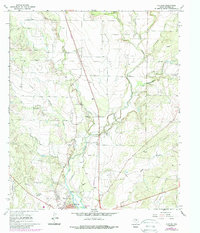
USGS Topo · Published 1894This historical map portrays the area of Hayrick in 1894, primarily covering Runnels County as well as portions of Tom Green County, Coke County, and Concho County. Featuring a scale of 1:125000, this map provides a highly detailed snapshot of the terrain, roads, buildings, counties, and historical landmarks in the Hayrick region at the time. Published in 1894, it is one of 5 known editions of this map due to revisions or reprints.
Find a feature on this map
42 named features on this map. Tap any name to fly to it.
Don’t see what you’re looking for? This feature index may not catch every label — zoom into the map to look around manually.
Map Details
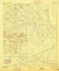
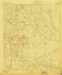
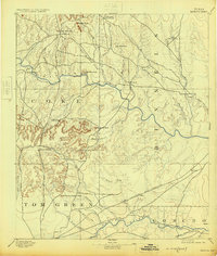
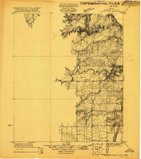
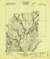
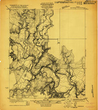
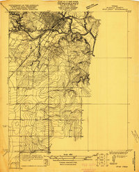
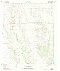
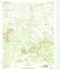
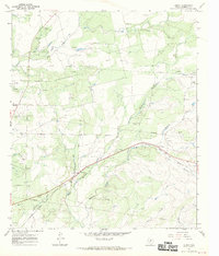
Editions of this 1894 Hayrick Map
5 editions found
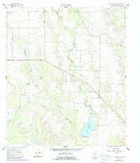
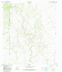
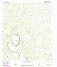
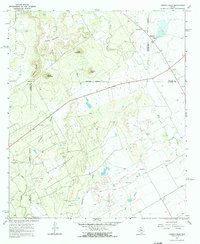
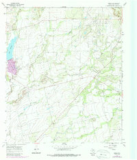
Historical Maps of Bronte Through Time
19 maps found

1891 Hayrick
Runnels County, TX
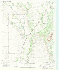
1894 Hayrick
Runnels County, TX
1921 Baker Flat
Runnels County, TX
1921 Hatchel
Runnels County, TX
1921 Maverick
Runnels County, TX
1921 Quarry Creek
Runnels County, TX
1921 Spur Creek
Runnels County, TX
1961 Herring Ranch
Runnels County, TX
1961 Hog Mountain
Runnels County, TX
1961 Maverick
Runnels County, TX
1961 Wilmeth
Runnels County, TX
1967 Bald Knob
Runnels County, TX
1967 Benoit
Runnels County, TX
1967 Bradshaw
Runnels County, TX
1967 Buffalo Bluff
Runnels County, TX
1967 Church Peak
Runnels County, TX
1967 Crews
Runnels County, TX
1967 Hatchel
Runnels County, TX
1984 Miles NW
Runnels County, TX