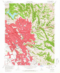
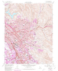
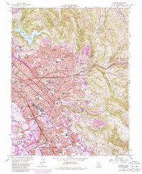
1959 Map of Hayward
USGS Topo · Published 1966About this map
The growing urban corridor of the East Bay is captured here during a period of rapid mid-century expansion. Suburban developments in Castro Valley and San Lorenzo push against the rising slopes of the San Leandro Hills and Walpert Ridge. The landscape is defined by the dual infrastructure of the Southern Pacific and Western Pacific railroads, which parallel the modern Nimitz Freeway. This network links established hubs like Hayward and Ashland with industrial and agricultural sites near Mt Eden Sta.
Find a feature on this map
96 named features on this map. Tap any name to fly to it.
Don’t see what you’re looking for? This feature index may not catch every label — zoom into the map to look around manually.
Map Details
Editions of this 1959 Hayward Map
6 editions found
Other maps of this area

1896 · Mt. Diablo
USGS Topo · 1:62,500

1897 · Concord
USGS Topo · 1:62,500

1898 · Mt. Diablo
USGS Topo · 1:62,500

1899 · Haywards
USGS Topo · 1:62,500

1906 · Pleasanton
USGS Topo · 1:62,500

1915 · Haywards
USGS Topo · 1:62,500

1915 · Concord
USGS Topo · 1:62,500

1941 · Pleasanton
USGS Topo · 1:62,500

1942 · Concord
USGS Topo · 1:62,500

1942 · Hayward
USGS Topo · 1:62,500