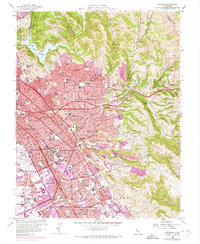
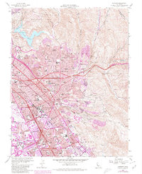
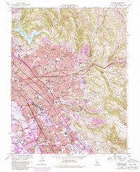
1959 Map of Hayward
USGS Topo · Published 1974About this map
Lake Chabot and the rising heights of the San Leandro Hills anchor the northern reaches of this mid-century portrait of Alameda County. The landscape is defined by the rapid post-war suburbanization stretching across Castro Valley and San Lorenzo, with purple revisions indicating the continued expansion of residential tracts during the 1960s and early 1970s. This growth is physically constrained by the steep terrain of Walpert Ridge and the Eden Canyon corridor to the east, while the lowlands are dominated by major infrastructure including the Nimitz Freeway and the Hayward Municipal Airport.
Find a feature on this map
108 named features on this map. Tap any name to fly to it.
Don’t see what you’re looking for? This feature index may not catch every label — zoom into the map to look around manually.
Map Details
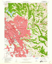
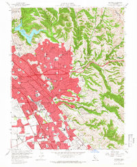
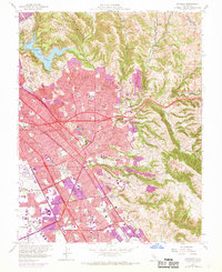
Editions of this 1959 Hayward Map
6 editions found
Other maps of this area

1896 · Mt. Diablo
USGS Topo · 1:62,500

1897 · Concord
USGS Topo · 1:62,500

1898 · Mt. Diablo
USGS Topo · 1:62,500

1899 · Haywards
USGS Topo · 1:62,500

1906 · Pleasanton
USGS Topo · 1:62,500

1915 · Haywards
USGS Topo · 1:62,500

1915 · Concord
USGS Topo · 1:62,500

1941 · Pleasanton
USGS Topo · 1:62,500

1942 · Concord
USGS Topo · 1:62,500

1942 · Hayward
USGS Topo · 1:62,500