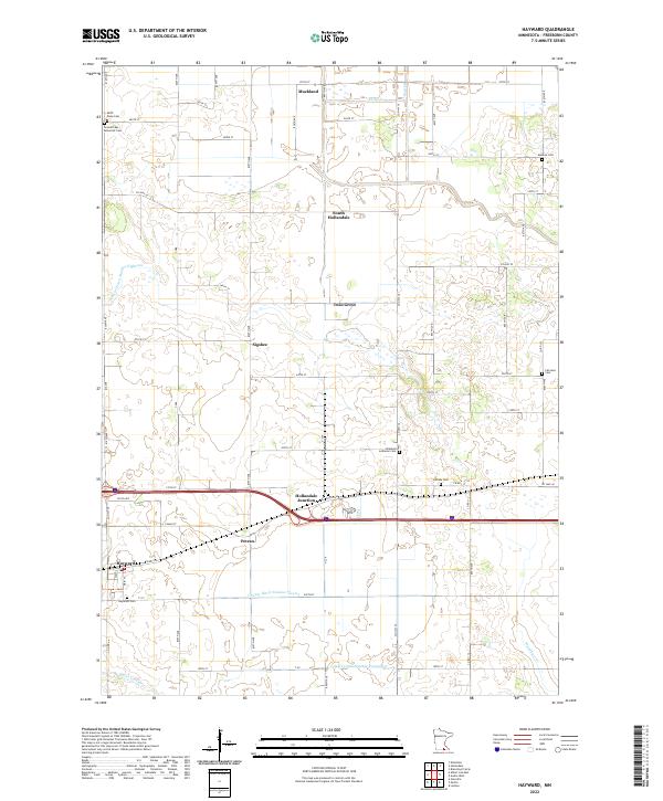
2022 Map of Hayward
USGS Topo · Published 2022About this map
The agricultural landscape of Hayward and the surrounding Freeborn County townships is defined by an extensive network of drainage infrastructure essential to this region's farming economy. Early 21st-century topography reveals several engineered waterways, including Judicial Ditch Number Eighteen, County Ditch Number Twelve, and County Ditch Number Fortyseven, which channel water toward natural courses like Turtle Cr and Woodbury Cr. These systems reflect the historical transformation of the local wetlands into productive acreage.
Find a feature on this map
49 named features on this map. Tap any name to fly to it.
Don’t see what you’re looking for? This feature index may not catch every label — zoom into the map to look around manually.
Map Details
Editions of this 2022 Hayward Map
This is the sole edition of this map. No revisions or reprints were ever made.
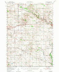
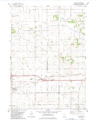
Historical Maps of Muckland Through Time
3 maps found