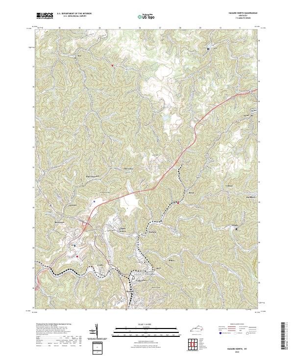
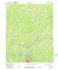
2022 Map of Hazard North
USGS Topo · Published 2022About this map
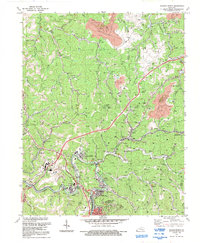
Hazard and its surrounding mountain communities anchor this 2022 survey of the North Fork Kentucky River valley. The landscape is defined by its deep connectivity to the extractive and transit history of the region, visible in the winding path of the L and N RR and the cluster of settlements including Bonnyman, Blue Diamond, and Bulan. Local genealogy is well-documented through several family-named burial grounds like the Nobel Cockrell Cemetery and Smith Cem, while the Hazard Community and Technical College Technical Campus marks the modern evolution of the Walkertown area. Narrow hollows and creek-side ridges define the topography, with numerous named waterways such as Troublesome Creek and Lost Cr carving through the terrain near Dwarf and Ary.
Find a feature on this map
192 named features on this map. Tap any name to fly to it.
Don’t see what you’re looking for? This feature index may not catch every label — zoom into the map to look around manually.
Map Details
Editions of this 2022 Hazard North Map
This is the sole edition of this map. No revisions or reprints were ever made.
Historical Maps of Allais Through Time
15 maps found
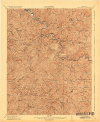
1916 Cornettsville
Perry County, KY
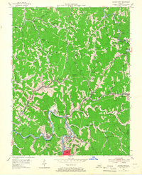
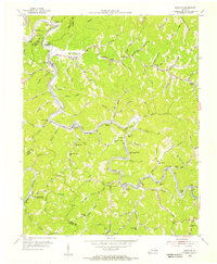
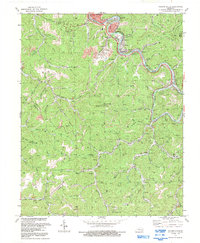
1954 Hazard North
Perry County, KY
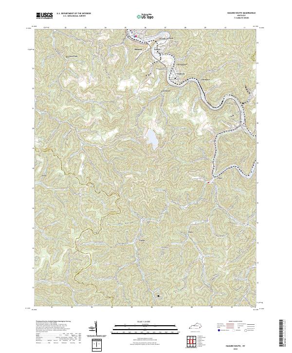
1954 Hazard South
Perry County, KY
1954 Krypton
Perry County, KY
1954 Tilford
Perry County, KY
1961 Krypton
Perry County, KY
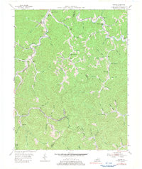
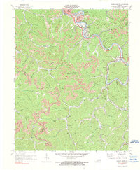
1972 Hazard North
Perry County, KY
1972 Hazard South
Perry County, KY
1972 Krypton
Perry County, KY
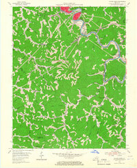
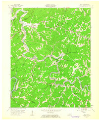
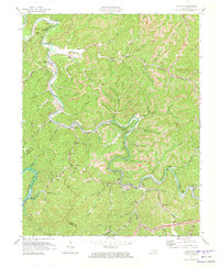
1992 Hazard North
Perry County, KY
1992 Hazard South
Perry County, KY
2022 Hazard North
Perry County, KY
2022 Hazard South
Perry County, KY
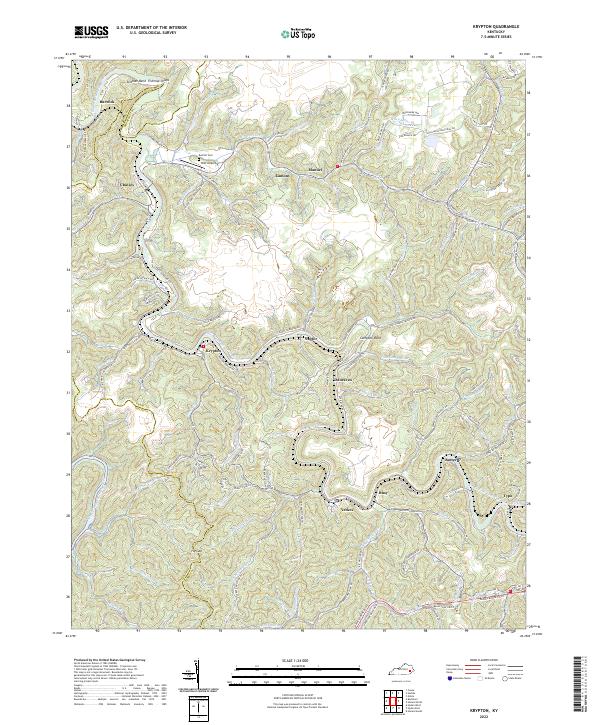
2022 Krypton
Perry County, KY
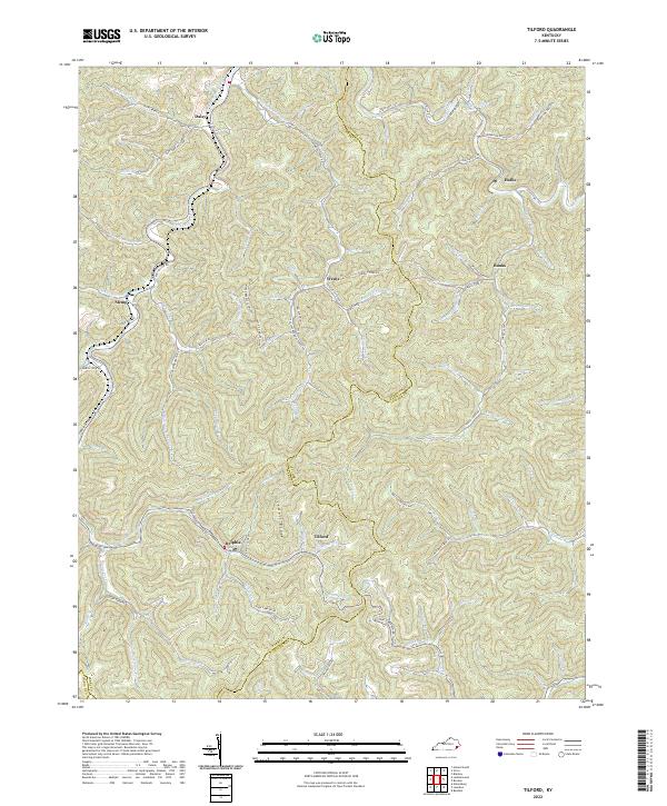
2022 Tilford
Perry County, KY