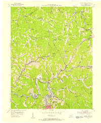
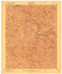
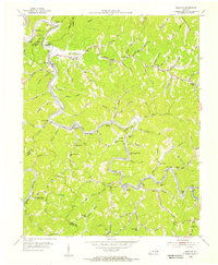
1954 Map of Hazard North
USGS Topo · Published 1956About this map
Coal-country settlements and narrow rail corridors define this mid-century survey of the North Fork Kentucky River valley. The industrial landscape of Hazard and Walkertown sits at the southern edge of the sheet, connected by the Louisville and Nashville railroad to mining communities tucked into the tight hollows. Settlements like Blue Diamond, Hardburly, and Harveyton follow the winding paths of Lotts Creek and Troublesome Creek, where numerous local institutions served the population. Education and faith were centered around landmarks like Robinson Sch, Sixteen Sch, and the Lost Creek Community Chapel. High points such as Lost Mtn and Peters Peak overlook a network of gas wells and small creeks, illustrating the mid-century extraction economy of Perry and Knott Counties.
Find a feature on this map
82 named features on this map. Tap any name to fly to it.
Don’t see what you’re looking for? This feature index may not catch every label — zoom into the map to look around manually.
Map Details
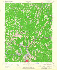
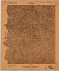
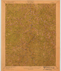
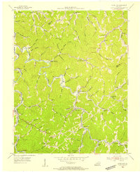
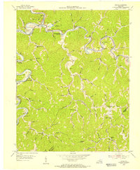
Editions of this 1954 Hazard North Map
2 editions found
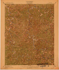
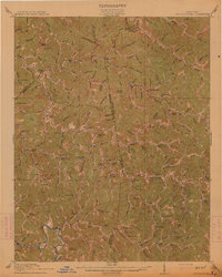
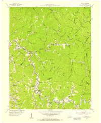
Other maps of this area

1891 · Hazard
USGS Topo · 1:125,000
1913 · Buckhorn
USGS Topo · 1:62,500
1914 · Troublesome
USGS Topo · 1:62,500
1916 · Cornettsville
USGS Topo · 1:62,500
1916 · Hyden
USGS Topo · 1:48,000
1919 · Hyden
USGS Topo · 1:62,500
1954 · Noble
USGS Topo · 1:24,000
1954 · Krypton
USGS Topo · 1:24,000
1954 · Hyden East
USGS Topo · 1:24,000
1954 · Haddix
USGS Topo · 1:24,000