
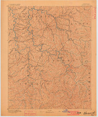
1891 Map of Hazard
USGS Topo · Published 1891About this map
The North Fork Kentucky River and Middle Fork Kentucky River carve deep, winding paths through this part of the Cumberland Plateau, anchoring the development of late nineteenth-century eastern Kentucky. Centered on the seat of Perry County, the town of Hazard appears as a key settlement point long before the region's massive industrial shifts. The landscape is defined by an intricate network of waterways like Troublesome Creek, Buckhorn Creek, and Carr Fork, which served as the primary corridors for early residents.
Find a feature on this map
44 named features on this map. Tap any name to fly to it.
Don’t see what you’re looking for? This feature index may not catch every label — zoom into the map to look around manually.
Map Details
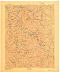
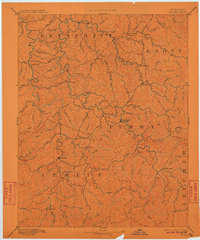
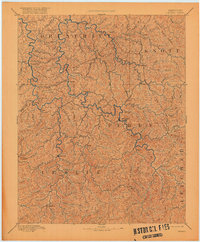
Editions of this 1891 Hazard Map
5 editions found
Other maps of this area

1886 · Prestonsburg
USGS Topo · 1:125,000

1886 · Cumberland Gap
USGS Topo · 1:125,000

1887 · Jonesville
USGS Topo · 1:125,000

1888 · Cumberland Gap
USGS Topo · 1:125,000

1889 · Salyersville
USGS Topo · 1:125,000

1890 · Whitesburg
USGS Topo · 1:125,000

1891 · Manchester
USGS Topo · 1:125,000

1891 · Cumberland Gap
USGS Topo · 1:125,000

1891 · Jonesville
USGS Topo · 1:125,000

1891 · Salyersville
USGS Topo · 1:125,000