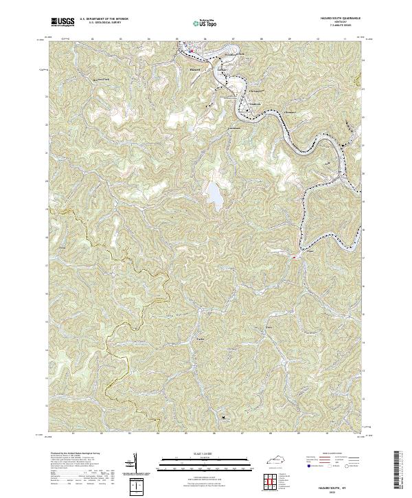
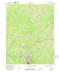
2022 Map of Hazard South
USGS Topo · Published 2022About this map
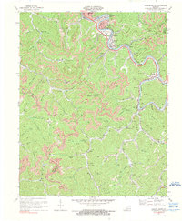
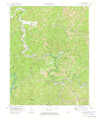
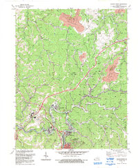
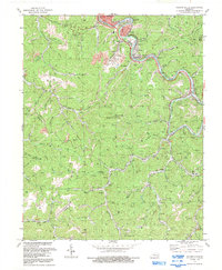
The North Fork Kentucky River snakes through this portion of Perry County, shaping a landscape defined by deep hollows and the coal-related settlements that grew within them. The city of Hazard serves as the regional hub, accompanied by established neighborhoods and industrial sites like Woodland Park, Lothair, and Glomawr. Transportation is anchored by the L & N RR, which follows the river's path, connecting the various mining and residential communities including Diablock and Christopher.
Find a feature on this map
124 named features on this map. Tap any name to fly to it.
Don’t see what you’re looking for? This feature index may not catch every label — zoom into the map to look around manually.
Map Details
Editions of this 2022 Hazard South Map
This is the sole edition of this map. No revisions or reprints were ever made.
Historical Maps of Jeff Through Time
15 maps found
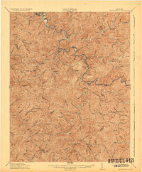
1916 Cornettsville
Perry County, KY
1954 Hazard North
Perry County, KY
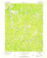
1954 Hazard South
Perry County, KY
1954 Krypton
Perry County, KY
1954 Tilford
Perry County, KY
1961 Krypton
Perry County, KY
1972 Hazard North
Perry County, KY
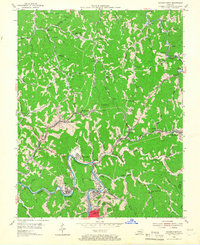
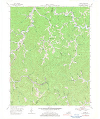
1972 Hazard South
Perry County, KY
1972 Krypton
Perry County, KY
1992 Hazard North
Perry County, KY
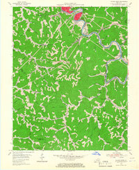
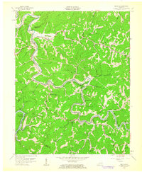
1992 Hazard South
Perry County, KY
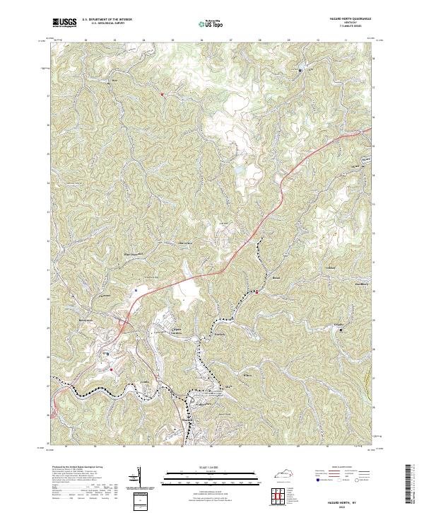
2022 Hazard North
Perry County, KY
2022 Hazard South
Perry County, KY
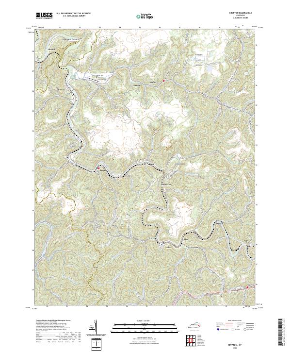
2022 Krypton
Perry County, KY
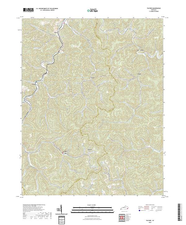
2022 Tilford
Perry County, KY