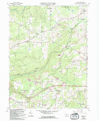
1966 Map of Hazen
USGS Topo · Published 1994About this map
Warsaw and the surrounding townships of Washington and Pinecreek define this Jefferson County landscape, where the mid-century economy is visibly transitioning between resource extraction and modern infrastructure. The map documents an extensive network of extractive activity, from traditional Strip Mine sites and older Gas Wells to significant areas of Reclaimed Strip Mine land. This industrial presence contrasts with the rural community hubs at Hazen and Allens Mills, where local life centered around the Warsaw Sch and the St Pauls Ch in Hormtown.
Find a feature on this map
45 named features on this map. Tap any name to fly to it.
Don’t see what you’re looking for? This feature index may not catch every label — zoom into the map to look around manually.
Map Details
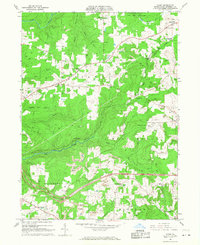
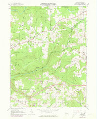
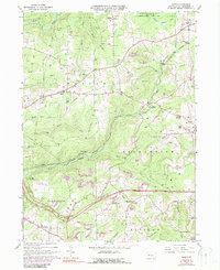
Editions of this 1966 Hazen Map
4 editions found
Other maps of this area

1918 · Loleta
USGS Topo · 1:62,500

1922 · Du Bois
USGS Topo · 1:62,500

1924 · Du Bois
USGS Topo · 1:62,500

1924 · Brookville
USGS Topo · 1:62,500

1926 · Brookville
USGS Topo · 1:62,500

1936 · Marienville
USGS Topo · 1:48,000

1940 · Hallton
USGS Topo · 1:48,000

1941 · Marienville
USGS Topo · 1:62,500

1943 · Hallton
USGS Topo · 1:62,500

1944 · Du Bois
USGS Topo · 1:62,500
Featured Places
- Warsaw Township, PA
- Pine Creek Township, PA
- Polk Township, PA
- North Sulger, Warsaw Township
- Sugar Hill, Snyder Township