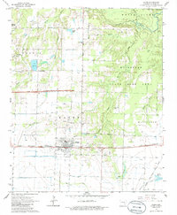
1964 Map of Hazen
USGS Topo · Published 1986About this map
Hazen serves as the focal point of this mid-1960s landscape, positioned at a critical junction where the Chicago Rock Island and Pacific railroad intersects with major regional thoroughfares. The town's grid is surrounded by a patchwork of agricultural fields and water management features, including an extensive Fish Hatchery and several small reservoirs like Sims Reservoir. The terrain to the north and east transitions into the Wattensaw State Game Area, characterized by the winding path of the Wattensaw Bayou and dense creek networks including Hurricane Creek and Clark Creek. Local heritage is preserved in sites like Center Point Ch and Old Bethel Cem, while the industrial and transportation history of Prairie County is evidenced by the presence of a Gravel Pit and a remnant Old Railroad Grade stretching south from the main line.
Find a feature on this map
31 named features on this map. Tap any name to fly to it.
Don’t see what you’re looking for? This feature index may not catch every label — zoom into the map to look around manually.
Map Details
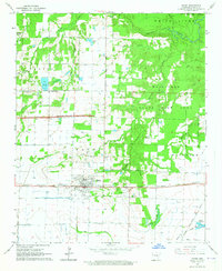
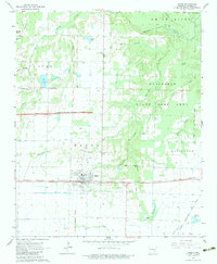
Editions of this 1964 Hazen Map
3 editions found
Other maps of this area

1935 · Hazen
USGS Topo · 1:62,500

1935 · Clarendon
USGS Topo · 1:62,500

1937 · Stuttgart
USGS Topo · 1:62,500

1939 · Stuttgart
USGS Topo · 1:62,500

1941 · Hazen
USGS Topo · 1:62,500

1941 · De Valls Bluff
USGS Topo · 1:62,500

1941 · Clarendon
USGS Topo · 1:62,500

1948 · Helena
USGS Topo · 1:250,000

1950 · Helena
USGS Topo · 1:250,000

1955 · Helena
USGS Topo · 1:250,000