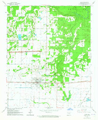
1964 Map of Hazen
USGS Topo · Published 1965About this map
Hazen serves as the primary hub of this eastern Arkansas landscape, situated along the Chicago Rock Island and Pacific railroad line. The mid-1960s terrain is defined by a dense network of tributaries including Hurricane Creek, Barnes Creek, and Wattensaw Bayou, which feed toward the White River along the northeastern boundary. Significant portions of the landscape are dedicated to conservation and resource management, notably the Wattensaw State Game Area and a large Fish Hatchery located near Center Point.
Find a feature on this map
37 named features on this map. Tap any name to fly to it.
Don’t see what you’re looking for? This feature index may not catch every label — zoom into the map to look around manually.
Map Details
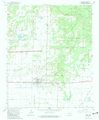
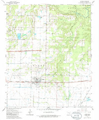
Editions of this 1964 Hazen Map
3 editions found
Other maps of this area

1935 · Hazen
USGS Topo · 1:62,500

1935 · Clarendon
USGS Topo · 1:62,500

1937 · Stuttgart
USGS Topo · 1:62,500

1939 · Stuttgart
USGS Topo · 1:62,500

1941 · Hazen
USGS Topo · 1:62,500

1941 · De Valls Bluff
USGS Topo · 1:62,500

1941 · Clarendon
USGS Topo · 1:62,500

1948 · Helena
USGS Topo · 1:250,000

1950 · Helena
USGS Topo · 1:250,000

1955 · Helena
USGS Topo · 1:250,000