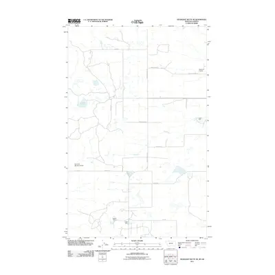
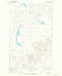
2011 Map of Headlight Butte NE
USGS Topo · Published 2011About this map
Red River flows across this northern Montana landscape, anchoring a rural environment defined by water management and a network of named country roads. In the southern portion of the quadrangle, water resources are meticulously controlled through structures like Upsilon Dam, Tsadi Dam, and the nearby Vasboe Dam to the east. These features, along with Lukins Lake, illustrate the vital role of irrigation and water storage in this section of Glacier County.
Find a feature on this map
19 named features on this map. Tap any name to fly to it.
Don’t see what you’re looking for? This feature index may not catch every label — zoom into the map to look around manually.
Map Details
Editions of this 2011 Headlight Butte NE Map
This is the sole edition of this map. No revisions or reprints were ever made.
Other maps of this area

1909 · Cut Bank
USGS Topo · 1:125,000

1912 · Cut Bank
USGS Topo · 1:125,000

1960 · Cut Bank
USGS Topo · 1:250,000

1963 · Cut Bank
USGS Topo · 1:250,000

1964 · Cut Bank
USGS Topo · 1:250,000

1968 · Headlight Butte NE
USGS Topo · 1:24,000
1968 · Dead Indian Spring
USGS Topo · 1:24,000
1968 · Fitzpatrick Lake
USGS Topo · 1:24,000
1968 · Headlight Butte NW
USGS Topo · 1:24,000
1968 · Glacier Colony
USGS Topo · 1:24,000