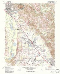
1993 Map of Healdsburg
USGS Topo · Published 1993About this map
The Russian River winds through this Sonoma County landscape, anchoring a valley defined by established vineyards and evolving suburban footprints in the early 1990s. The city of Healdsburg dominates the northern sector, showing its civic core at Healdsburg City Hall and the local Healdsburg Jr High Sch. To the south, the community of Windsor is flanked by the Northwestern Pacific railroad, which parallels the main highway corridor through the valley floor.
Find a feature on this map
52 named features on this map. Tap any name to fly to it.
Don’t see what you’re looking for? This feature index may not catch every label — zoom into the map to look around manually.
Map Details
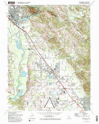
Editions of this 1993 Healdsburg Map
2 editions found
Other maps of this area

1916 · Santa Rosa
USGS Topo · 1:62,500

1920 · Healdsburg
USGS Topo · 1:62,500

1927 · Calistoga
USGS Topo · 1:62,500

1933 · Healdsburg
USGS Topo · 1:48,000

1935 · Sebastopol
USGS Topo · 1:48,000

1940 · Healdsburg
USGS Topo · 1:62,500

1942 · Sebastopol
USGS Topo · 1:62,500

1943 · Calistoga
USGS Topo · 1:62,500

1944 · Santa Rosa
USGS Topo · 1:62,500

1945 · Calistoga
USGS Topo · 1:62,500