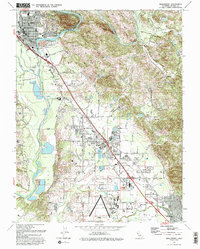
1993 Map of Healdsburg
USGS Topo · Published 1993About this map
The Russian River defines the western edge of this Sonoma County landscape, winding past the heights of Fitch Mtn and the town of Healdsburg. By the early 1990s, the corridor between Healdsburg and the expanding community of Windsor shows a mix of suburban growth and agricultural utility, with the Northwestern Pacific railroad and U S Highway 101 serving as the primary transit arteries. To the south, the Sonoma County Airport anchors the lower terrain near Mark West, where the rural character remains evident through features like the Shiloh Cem and Grange Hall. This survey captures a transitional era for the region, balancing historical landmarks like the Sotoyome School against the increasing density of mobile home parks and residential developments appearing along Windsor River Road and Airport Boulevard.
Find a feature on this map
50 named features on this map. Tap any name to fly to it.
Don’t see what you’re looking for? This feature index may not catch every label — zoom into the map to look around manually.
Map Details
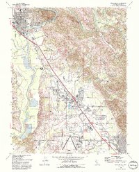
Editions of this 1993 Healdsburg Map
2 editions found
Other maps of this area

1916 · Santa Rosa
USGS Topo · 1:62,500

1920 · Healdsburg
USGS Topo · 1:62,500

1927 · Calistoga
USGS Topo · 1:62,500

1933 · Healdsburg
USGS Topo · 1:48,000

1935 · Sebastopol
USGS Topo · 1:48,000

1940 · Healdsburg
USGS Topo · 1:62,500

1942 · Sebastopol
USGS Topo · 1:62,500

1943 · Calistoga
USGS Topo · 1:62,500

1944 · Santa Rosa
USGS Topo · 1:62,500

1945 · Calistoga
USGS Topo · 1:62,500