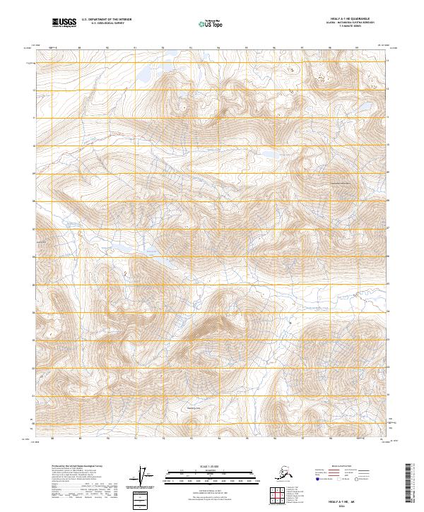
2024 Map of Healy A-1 NE
USGS Topo · Published 2024About this map
The high alpine country of the Clearwater Mountains dominates this portion of the Matanuska-Susitna Borough, where the terrain is defined by steep ridges and glacial drainages. Notable peaks such as Lucky Hill overlook a network of waterways including Valdez Creek and Roosevelt Creek. The landscape is largely inaccessible by road, instead traversed by the Grogg Lake Trl which skirts the edges of Grogg Lake.
Find a feature on this map
22 named features on this map. Tap any name to fly to it.
Don’t see what you’re looking for? This feature index may not catch every label — zoom into the map to look around manually.
Map Details
Editions of this 2024 Healy A-1 NE Map
This is the sole edition of this map. No revisions or reprints were ever made.
Other maps of this area

1949 · Healy A-1
USGS Topo · 1:63,360

1950 · Mount Hayes
USGS Topo · 1:250,000

1950 · Healy B-1
USGS Topo · 1:63,360

1950 · Mount Hayes A-6
USGS Topo · 1:63,360

1951 · Healy
USGS Topo · 1:250,000

1951 · Mount Hayes
USGS Topo · 1:250,000

1951 · Mount Hayes B-6
USGS Topo · 1:63,360
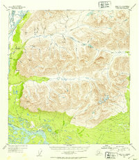
1952 · Healy A-1
USGS Topo · 1:63,360

1952 · Healy B-1
USGS Topo · 1:63,360

1952 · Mount Hayes A-6
USGS Topo · 1:63,360