
1952 Map of Mount Hayes A-6
USGS Topo · Published 1953About this map
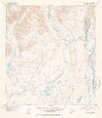
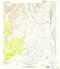
Maclaren River dominates the eastern drainage of this interior Alaska landscape, captured during a 1952 Geological Survey effort. The terrain is defined by a network of high-elevation waterways, including the West Fork and Clearwater Creek, which carve through the topographic contours before the onset of modern infrastructure. One of the few signs of human passage through this wilderness is a designated Sled Road that follows the natural gradients between the river valleys. The map provides a detailed view of the complex hydrography of the region, where numerous unnamed lakes and marshes dot the lowlands between the Little Clearwater Creek and the surrounding peaks. This survey reflects the early 1950s period of systematic mapping in the Alaska-Third Judicial Division, recording the primitive transportation routes and natural landmarks vital to mid-century bush pilots and explorers.
Find a feature on this map
8 named features on this map. Tap any name to fly to it.
Don’t see what you’re looking for? This feature index may not catch every label — zoom into the map to look around manually.
Map Details
Editions of this 1952 Mount Hayes A-6 Map
3 editions found
Other maps of this area

1949 · Healy A-1
USGS Topo · 1:63,360

1949 · Mount Hayes A-5
USGS Topo · 1:63,360

1950 · Talkeetna Mountains
USGS Topo · 1:250,000

1950 · Mount Hayes
USGS Topo · 1:250,000

1950 · Healy B-1
USGS Topo · 1:63,360

1950 · Mount Hayes A-6
USGS Topo · 1:63,360

1951 · Healy
USGS Topo · 1:250,000

1951 · Gulkana
USGS Topo · 1:250,000

1951 · Mount Hayes
USGS Topo · 1:250,000

1951 · Gulkana D-6
USGS Topo · 1:63,360