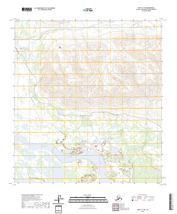
2024 Map of Healy A-1 SW
USGS Topo · Published 2024About this map
The Susitna River meanders across the southern reach of this Matanuska-Susitna quadrangle, carving a wide path through a landscape defined by dramatic elevation changes and a network of glacial runoff streams. To the north, the Denali Highway cuts an east-west path across the high ground, serving as the primary corridor through this wilderness. This area is characterized by high ridges and deep valleys drained by watercourses such as Windy Creek, Nowater Creek, and Raft Creek.
Find a feature on this map
13 named features on this map. Tap any name to fly to it.
Don’t see what you’re looking for? This feature index may not catch every label — zoom into the map to look around manually.
Map Details
Editions of this 2024 Healy A-1 SW Map
This is the sole edition of this map. No revisions or reprints were ever made.
Other maps of this area

1949 · Healy A-1
USGS Topo · 1:63,360

1950 · Talkeetna Mountains
USGS Topo · 1:250,000

1951 · Healy
USGS Topo · 1:250,000

1951 · Talkeetna Mountains D-2
USGS Topo · 1:63,360

1951 · Talkeetna Mountains D-1
USGS Topo · 1:63,360

1951 · Healy A-2
USGS Topo · 1:63,360
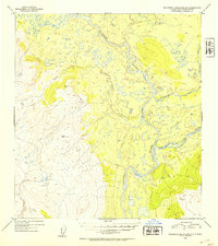
1952 · Talkeetna Mountains D-1
USGS Topo · 1:63,360
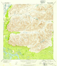
1952 · Healy A-1
USGS Topo · 1:63,360

1952 · Healy A-2
USGS Topo · 1:63,360
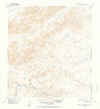
1952 · Talkeetna Mountains D-2
USGS Topo · 1:63,360