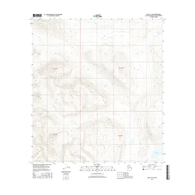
2016 Map of Healy A-3 SW
USGS Topo · Published 2016About this map
High-altitude interior wetlands and alpine terrain dominate this 2016 survey of the Deadman Cr drainage system. The landscape is defined by its seasonal hydrography, where Deadman Lake sits at the southern edge of a complex network of unnamed ponds and tributaries. This part of the Alaska Range demonstrates a raw, undeveloped character, structured primarily by the Public Land Survey System boundaries of t21s r4w, t21s r5w, t22s r4w, and t22s r5w. The lack of road infrastructure or named settlements underscores the area's isolation within the Matanuska-Susitna region, leaving the land's contours and the path of the creek as the primary navigational markers for researchers and explorers.
Find a feature on this map
6 named features on this map. Tap any name to fly to it.
Don’t see what you’re looking for? This feature index may not catch every label — zoom into the map to look around manually.
Map Details
Editions of this 2016 Healy A-3 SW Map
This is the sole edition of this map. No revisions or reprints were ever made.
Other maps of this area

1950 · Talkeetna Mountains
USGS Topo · 1:250,000

1950 · Healy A-3
USGS Topo · 1:63,360

1950 · Healy A-4
USGS Topo · 1:63,360

1951 · Healy
USGS Topo · 1:250,000

1951 · Talkeetna Mountains D-3
USGS Topo · 1:63,360

1951 · Talkeetna Mountains D-4
USGS Topo · 1:63,360

1952 · Healy A-4
USGS Topo · 1:63,360
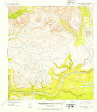
1952 · Talkeetna Mountains D-4
USGS Topo · 1:63,360
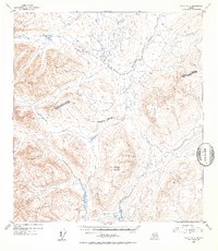
1952 · Healy A-3
USGS Topo · 1:63,360
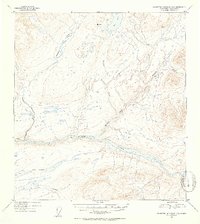
1953 · Talkeetna Mountains D-3
USGS Topo · 1:63,360