
1950 Map of Healy A-4
USGS Topo · Published 1965About this map
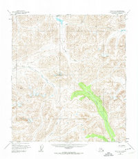
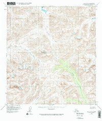
Caribou Pass serves as a critical high-elevation transition point in this remote Alaskan wilderness within the Matanuska-Susitna Borough. Photogrammetric methods from 1949 aerial surveys reveal a landscape defined by complex drainage systems where the headwaters of the Jack River and South Creek flow through deeply incised valleys. The map illustrates the convergence of multiple watersheds, most notably where the East Fork Chulitna River and Tsusena Creek carve through the terrain. These waterways reflect the natural travel corridors used before formal roads reached the interior. The presence of Portage Creek further highlights the historical transit patterns of a region still largely unsurveyed and unmarked on the ground at the time of the 1950 field annotation.
Find a feature on this map
7 named features on this map. Tap any name to fly to it.
Don’t see what you’re looking for? This feature index may not catch every label — zoom into the map to look around manually.
Map Details
Editions of this 1950 Healy A-4 Map
3 editions found
Other maps of this area

1949 · Healy B-4
USGS Topo · 1:63,360

1950 · Talkeetna Mountains
USGS Topo · 1:250,000

1950 · Talkeetna Mountains D-5
USGS Topo · 1:63,360

1950 · Healy A-3
USGS Topo · 1:63,360

1950 · Healy B-3
USGS Topo · 1:63,360

1950 · Healy A-5
USGS Topo · 1:63,360

1950 · Healy B-5
USGS Topo · 1:63,360

1951 · Healy
USGS Topo · 1:250,000

1951 · Talkeetna Mountains D-5
USGS Topo · 1:63,360

1951 · Healy B-5
USGS Topo · 1:63,360