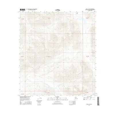
2016 Map of Healy A-4 NW
USGS Topo · Published 2016About this map
Caribou Pass sits as a high-altitude gateway in this northern interior landscape, marking a significant divide between drainage basins. The terrain is defined by the headwaters of two major systems: the Jack River flows through the northeastern reaches, while the East Fork Chulifna River carves its path across the southwest. This 2016 survey illustrates the dramatic topography of the Alaska-Susitna Borough, where steep elevation changes are captured in high detail. The map provides a clear look at the natural corridors used by wildlife and potentially early travelers through the mountains. Its focus remains strictly on the land and water, documenting the primary hydrological features and the high-altitude passes that connect these remote valley systems.
Find a feature on this map
12 named features on this map. Tap any name to fly to it.
Don’t see what you’re looking for? This feature index may not catch every label — zoom into the map to look around manually.
Map Details
Editions of this 2016 Healy A-4 NW Map
This is the sole edition of this map. No revisions or reprints were ever made.
Other maps of this area

1949 · Healy B-4
USGS Topo · 1:63,360

1950 · Healy A-4
USGS Topo · 1:63,360

1950 · Healy A-5
USGS Topo · 1:63,360

1950 · Healy B-5
USGS Topo · 1:63,360

1951 · Healy
USGS Topo · 1:250,000

1951 · Healy B-5
USGS Topo · 1:63,360

1951 · Healy B-4
USGS Topo · 1:63,360

1952 · Healy A-4
USGS Topo · 1:63,360

1952 · Healy A-5
USGS Topo · 1:63,360

1953 · Healy B-5
USGS Topo · 1:63,360