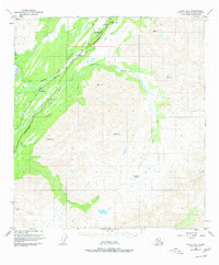
1950 Map of Healy A-5
USGS Topo · Published 1977About this map
The Alaska Railroad and the Anchorage-Fairbanks Hy follow the winding corridor of the Middle Fork Chulitna River through this high-altitude landscape. In the northern reaches of the quadrangle, the small settlement of Broad Pass serves as a pivotal point where the rail line and highway pass near Squaw Creek. The presence of several survey markers, including Broad Pass NE Base and Broad Pass SW Base, underscores the engineering challenges of establishing a transportation artery through such complex terrain.
Find a feature on this map
39 named features on this map. Tap any name to fly to it.
Don’t see what you’re looking for? This feature index may not catch every label — zoom into the map to look around manually.
Map Details
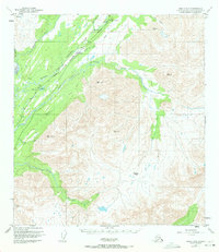
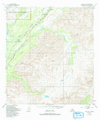
Editions of this 1950 Healy A-5 Map
4 editions found
Other maps of this area

1949 · Talkeetna Mountains D-6
USGS Topo · 1:63,360

1949 · Healy B-4
USGS Topo · 1:63,360

1949 · Healy A-6
USGS Topo · 1:63,360

1950 · Talkeetna Mountains
USGS Topo · 1:250,000

1950 · Talkeetna Mountains D-5
USGS Topo · 1:63,360

1950 · Healy A-4
USGS Topo · 1:63,360

1950 · Healy A-5
USGS Topo · 1:63,360

1950 · Healy B-5
USGS Topo · 1:63,360

1951 · Healy
USGS Topo · 1:250,000

1951 · Talkeetna Mountains D-5
USGS Topo · 1:63,360