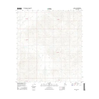
2016 Map of Healy A-5 NE
USGS Topo · Published 2016About this map
The E Fork Chulitna River winds through this section of the Matanuska-Susitna Borough, defining the drainage patterns of a landscape marked by dramatic elevation changes. The waterway is joined by several tributaries, including the aptly named Crooked Cr and Coal Cr, which flow from the surrounding high ground. In the northwestern corner, Fourth of July Cr cuts through the terrain, illustrating the high-altitude hydrology of this Alaskan interior region. This 2016 survey provides a precise look at the township and range boundaries, including t20s r8w and t19s r9w, which organize the public land survey system across this uninhabited stretch of territory.
Find a feature on this map
10 named features on this map. Tap any name to fly to it.
Don’t see what you’re looking for? This feature index may not catch every label — zoom into the map to look around manually.
Map Details
Editions of this 2016 Healy A-5 NE Map
This is the sole edition of this map. No revisions or reprints were ever made.
Other maps of this area

1949 · Healy B-4
USGS Topo · 1:63,360

1950 · Healy A-4
USGS Topo · 1:63,360

1950 · Healy A-5
USGS Topo · 1:63,360

1950 · Healy B-5
USGS Topo · 1:63,360

1951 · Healy
USGS Topo · 1:250,000

1951 · Healy B-5
USGS Topo · 1:63,360

1951 · Healy B-4
USGS Topo · 1:63,360

1952 · Healy A-4
USGS Topo · 1:63,360

1952 · Healy A-5
USGS Topo · 1:63,360

1953 · Healy B-5
USGS Topo · 1:63,360