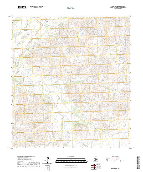
2024 Map of Healy A-5 NE
USGS Topo · Published 2024About this map
Broad Pass dominates this high-latitude terrain within the Matanuska-Susitna Borough, serving as a critical geographic corridor through the Alaskan wilderness. The landscape is defined by the complex drainage systems of the East Fork Chulitna River and its various tributaries, including Fourth of July Creek and Coal Creek. These waterways carve through the mountain ranges, creating the natural pathways that have guided travel through the interior for generations. The East Fork Chulitna Trl follows the river's path, indicating the established routes used by explorers and modern travelers alike. South of the pass, Crooked Creek winds through the lower elevations, highlighting the intricate hydrography of this subarctic environment. This 2024 survey documents the state of these vital water sources and primitive transportation corridors in a region where the terrain dictates the limits of human movement.
Find a feature on this map
12 named features on this map. Tap any name to fly to it.
Don’t see what you’re looking for? This feature index may not catch every label — zoom into the map to look around manually.
Map Details
Editions of this 2024 Healy A-5 NE Map
This is the sole edition of this map. No revisions or reprints were ever made.
Other maps of this area

1949 · Healy B-4
USGS Topo · 1:63,360

1950 · Healy A-4
USGS Topo · 1:63,360

1950 · Healy A-5
USGS Topo · 1:63,360

1950 · Healy B-5
USGS Topo · 1:63,360

1951 · Healy
USGS Topo · 1:250,000

1951 · Healy B-5
USGS Topo · 1:63,360

1951 · Healy B-4
USGS Topo · 1:63,360

1952 · Healy A-4
USGS Topo · 1:63,360

1952 · Healy A-5
USGS Topo · 1:63,360

1953 · Healy B-5
USGS Topo · 1:63,360