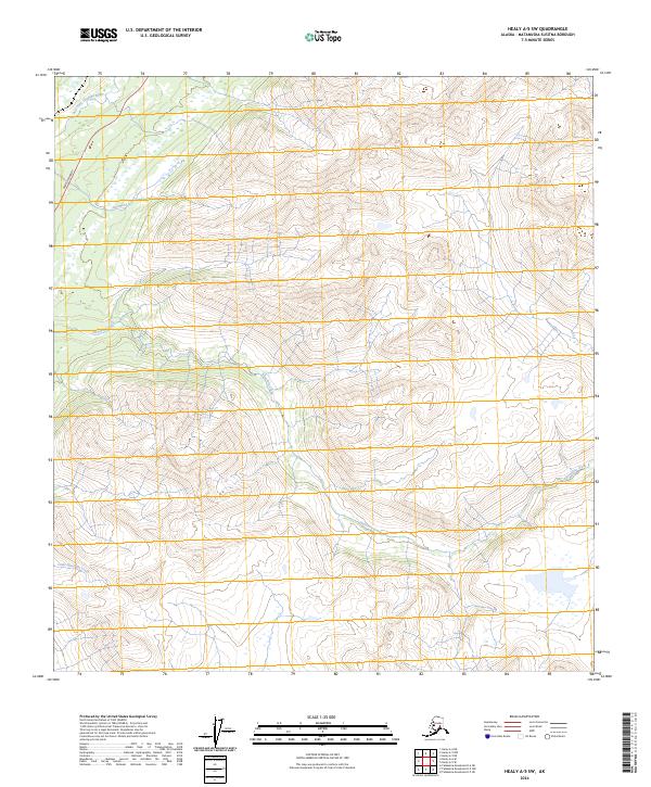
2024 Map of Healy A-5 SW
USGS Topo · Published 2024About this map
The Parks Highway cuts through the western edge of this Matanuska-Susitna terrain, providing the primary transit link through a landscape defined by glacial drainage and steep elevations. Several major watercourses dominate the area, most notably the meandering path of Honolulu Creek as it flows through the central and southern sections. To the north, the East Fork Chulitna River and Antimony Creek establish the drainage patterns for the high peaks, while Little Honolulu Creek appears in the southwestern corner. The mapping shows the transition of these waters from high-elevation tributaries into the larger river systems of the Alaska interior, with the highway corridor following the path of least resistance through the mountain passes.
Find a feature on this map
9 named features on this map. Tap any name to fly to it.
Don’t see what you’re looking for? This feature index may not catch every label — zoom into the map to look around manually.
Map Details
Editions of this 2024 Healy A-5 SW Map
This is the sole edition of this map. No revisions or reprints were ever made.
Other maps of this area

1949 · Talkeetna Mountains D-6
USGS Topo · 1:63,360

1949 · Healy A-6
USGS Topo · 1:63,360

1950 · Talkeetna Mountains
USGS Topo · 1:250,000

1950 · Talkeetna Mountains D-5
USGS Topo · 1:63,360

1950 · Healy A-5
USGS Topo · 1:63,360

1951 · Healy
USGS Topo · 1:250,000

1951 · Talkeetna Mountains D-5
USGS Topo · 1:63,360

1951 · Talkeetna Mountains D-6
USGS Topo · 1:63,360

1952 · Healy A-5
USGS Topo · 1:63,360

1952 · Talkeetna Mountains D-6
USGS Topo · 1:63,360