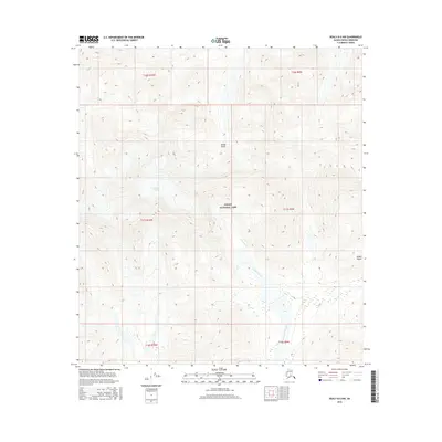
2016 Map of Healy B-5 NW
USGS Topo · Published 2016About this map
Denali National Park encompasses the heart of this high-altitude landscape, where the dramatic topography of the Alaska Range defines the drainage patterns and glaciated valleys. The ice of Cantwell Glacier feeds into the headwaters of Cantwell Creek, which winds southward through steep terrain. Central to the sheet is the isolated Refuge Valley, a notable corridor through the high peaks. This 2016 survey illustrates the pristine environmental state of the interior before any significant infrastructure development, preserving the exact contours of the permanent snowfields and glacial moraines as they existed at the start of the 21st century.
Find a feature on this map
12 named features on this map. Tap any name to fly to it.
Don’t see what you’re looking for? This feature index may not catch every label — zoom into the map to look around manually.
Map Details
Editions of this 2016 Healy B-5 NW Map
This is the sole edition of this map. No revisions or reprints were ever made.
Other maps of this area

1950 · Healy B-5
USGS Topo · 1:63,360

1951 · Healy
USGS Topo · 1:250,000

1951 · Healy B-5
USGS Topo · 1:63,360

1952 · Healy C-5
USGS Topo · 1:63,360

1953 · Healy C-5
USGS Topo · 1:63,360

1953 · Healy B-5
USGS Topo · 1:63,360

1954 · Healy C-6
USGS Topo · 1:63,360

1954 · Healy B-6
USGS Topo · 1:63,360
1956 · Healy B-5
USGS Topo · 1:63,360

1956 · Healy
USGS Topo · 1:250,000