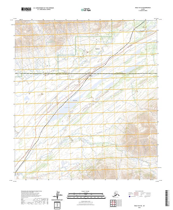
2024 Map of Healy B-5 SE
USGS Topo · Published 2024About this map
Broad Pass serves as a critical geographic corridor through the Alaska Range, marking the transition between the Denali and Matanuska-Susitna Boroughs. This high-altitude landscape is anchored by the small settlements of Cantwell and Summit, situated along the vital Parks Highway transportation route. The presence of Summit Airport near Summit Lake underscores the importance of aviation in this interior region, providing access to terrain dominated by the Middle Fork Chulitna River and its surrounding wetlands.
Find a feature on this map
16 named features on this map. Tap any name to fly to it.
Don’t see what you’re looking for? This feature index may not catch every label — zoom into the map to look around manually.
Map Details
Editions of this 2024 Healy B-5 SE Map
This is the sole edition of this map. No revisions or reprints were ever made.
Other maps of this area

1949 · Healy B-4
USGS Topo · 1:63,360

1950 · Healy A-4
USGS Topo · 1:63,360

1950 · Healy A-5
USGS Topo · 1:63,360

1950 · Healy B-5
USGS Topo · 1:63,360

1951 · Healy
USGS Topo · 1:250,000

1951 · Healy B-5
USGS Topo · 1:63,360

1951 · Healy B-4
USGS Topo · 1:63,360

1952 · Healy A-4
USGS Topo · 1:63,360

1952 · Healy A-5
USGS Topo · 1:63,360

1953 · Healy B-5
USGS Topo · 1:63,360