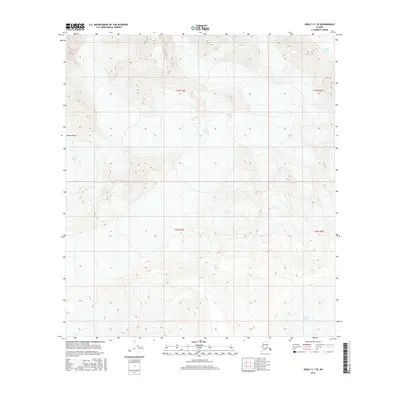
2016 Map of Healy C-1 SE
USGS Topo · Published 2016About this map
The Alaska Range dominates this terrain in the Healy C-1 SE quadrangle, serving as a massive frozen engine for several major ice flows. The high-elevation contours trace the rugged divide where the Gillam Glacier begins its descent to the northeast, while the massive Susitna Glacier carves through the southeast corner. Central to this landscape is the W Fork Glacier, which drains the high basins between these peaks. This map provides a technical view of the glacial morphology and drainage patterns in a remote sub-arctic environment, defined by the complex intersections of township boundaries like t15s r3e and t16s r4e.
Find a feature on this map
8 named features on this map. Tap any name to fly to it.
Don’t see what you’re looking for? This feature index may not catch every label — zoom into the map to look around manually.
Map Details
Editions of this 2016 Healy C-1 SE Map
This is the sole edition of this map. No revisions or reprints were ever made.
Other maps of this area

1950 · Mount Hayes
USGS Topo · 1:250,000

1950 · Healy B-1
USGS Topo · 1:63,360

1951 · Healy
USGS Topo · 1:250,000

1951 · Mount Hayes
USGS Topo · 1:250,000

1951 · Mount Hayes B-6
USGS Topo · 1:63,360

1951 · Healy C-1
USGS Topo · 1:63,360

1951 · Mount Hayes C-6
USGS Topo · 1:63,360

1952 · Healy B-1
USGS Topo · 1:63,360

1955 · Mount Hayes
USGS Topo · 1:250,000

1956 · Healy
USGS Topo · 1:250,000