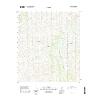
2019 Map of Healy C-6 NE
USGS Topo · Published 2019About this map
Denali National Park preserves a vast interior Alaskan landscape where the Park Road serves as the primary corridor through the high-latitude terrain. This 2019 survey documents the intricate braided drainage patterns of the Teklanika River and Sushana River, which define the valley floors between prominent elevations like Mt Wright. The map illustrates the specialized infrastructure of the national park, where modern roads navigate around natural tributaries such as Big Cr and Igloo Cr. Because the region is largely undeveloped, the placement of the solitary transit route highlights the intersection of human access and protected wilderness, offering a precise view of the topography at the end of the second decade of the 21st century.
Find a feature on this map
13 named features on this map. Tap any name to fly to it.
Don’t see what you’re looking for? This feature index may not catch every label — zoom into the map to look around manually.
Map Details
Editions of this 2019 Healy C-6 NE Map
This is the sole edition of this map. No revisions or reprints were ever made.
Other maps of this area

1951 · Healy
USGS Topo · 1:250,000

1951 · Healy D-6
USGS Topo · 1:63,360

1951 · Healy D-5
USGS Topo · 1:63,360

1952 · Healy D-5
USGS Topo · 1:63,360

1952 · Healy C-5
USGS Topo · 1:63,360

1953 · Healy C-5
USGS Topo · 1:63,360

1954 · Healy C-6
USGS Topo · 1:63,360
1954 · Healy D-6
USGS Topo · 1:63,360

1956 · Healy
USGS Topo · 1:250,000
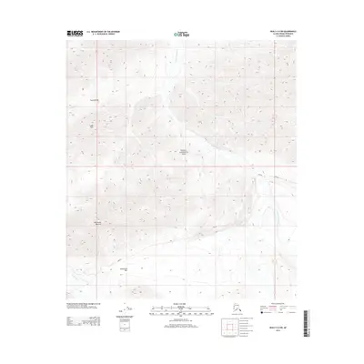
2014 · Healy C-6 SW
USGS Topo · 1:25,000