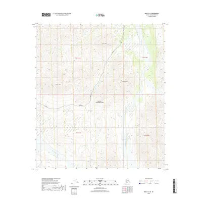
2019 Map of Healy C-6 SE
USGS Topo · Published 2019About this map
Denali National Park encompasses the high mountain passes and braided river valleys shown in this 2019 survey. The winding path of Park Road provides the primary corridor through this landscape, crossing through Sable Pass between the peaks of Sable Mtn and Cathedral Mtn. This area is defined by its dramatic drainage networks, where the Teklanika River and the East Fork Teklanika River carve through the interior. Smaller tributaries like Igloo Cr, which flows past Igloo Mtn, and the nearby Tattler Cr illustrate the complex alpine hydrology. The map provides a precise record of the natural terrain and the established road access before more recent environmental shifts might have altered these remote mountain routes.
Find a feature on this map
16 named features on this map. Tap any name to fly to it.
Don’t see what you’re looking for? This feature index may not catch every label — zoom into the map to look around manually.
Map Details
Editions of this 2019 Healy C-6 SE Map
This is the sole edition of this map. No revisions or reprints were ever made.
Other maps of this area

1950 · Healy B-5
USGS Topo · 1:63,360

1951 · Healy
USGS Topo · 1:250,000

1951 · Healy B-5
USGS Topo · 1:63,360

1952 · Healy C-5
USGS Topo · 1:63,360

1953 · Healy C-5
USGS Topo · 1:63,360

1953 · Healy B-5
USGS Topo · 1:63,360

1954 · Healy C-6
USGS Topo · 1:63,360

1954 · Healy B-6
USGS Topo · 1:63,360
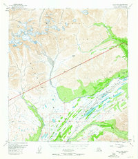
1956 · Healy B-5
USGS Topo · 1:63,360

1956 · Healy
USGS Topo · 1:250,000