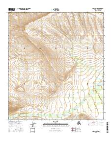
2016 Map of Healy D-1 NE
USGS Topo · Published 2016About this map
West Fork Little Delta River anchors the southern drainage of this Interior Alaska landscape, where a braided river system cuts across the lower elevations near the O'Brien Cr confluence. The terrain is defined by dramatic elevation changes and a series of north-flowing seasonal and perennial streams, including the steep-sided valleys of Portage Cr and Iowa Cr. This 2016 survey illustrates the intricate drainage patterns of the north-central Alaska Range, including smaller tributaries like Whiskey Pup. The map serves as a primary record of the hydrography within the Denali Borough, capturing the untouched wilderness before it reaches the Tanana Valley to the north.
Find a feature on this map
11 named features on this map. Tap any name to fly to it.
Don’t see what you’re looking for? This feature index may not catch every label — zoom into the map to look around manually.
Map Details
Editions of this 2016 Healy D-1 NE Map
This is the sole edition of this map. No revisions or reprints were ever made.
Other maps of this area

1949 · Big Delta A-6
USGS Topo · 1:63,360

1949 · Fairbanks A-1
USGS Topo · 1:63,360

1949 · Healy D-1
USGS Topo · 1:63,360

1950 · Fairbanks
USGS Topo · 1:250,000

1950 · Mount Hayes
USGS Topo · 1:250,000

1950 · Big Delta
USGS Topo · 1:250,000

1950 · Mount Hayes D-6
USGS Topo · 1:63,360

1951 · Healy
USGS Topo · 1:250,000

1951 · Big Delta
USGS Topo · 1:250,000

1951 · Mount Hayes
USGS Topo · 1:250,000