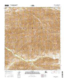
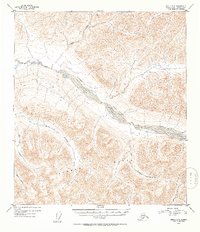
2016 Map of Healy D-4 SE
USGS Topo · Published 2016About this map
Dora Peak stands as a prominent topographical anchor within this portion of the Alaska Range, presiding over a complex drainage system defined by deep ravines and high-elevation watersheds. The northern terrain is carved by the westward-flowing Healy Creek and its southern tributaries, including Cripple Creek and Coal Cr. To the south, the landscape is defined by the headwaters of Moody Creek, where the drainage pattern shifts toward the southeast. This 2016 survey illustrates the high-alpine environment of the Denali Borough, showing a landscape devoid of permanent structures or roads, where the natural watercourses of Dora Cr and other small streams dictate the logic of the land. The map serves as a primary record of the physical geography and township boundaries, including t12s r6w and t13s r5w, in a region defined by extreme elevation changes and wilderness.
Find a feature on this map
13 named features on this map. Tap any name to fly to it.
Don’t see what you’re looking for? This feature index may not catch every label — zoom into the map to look around manually.
Map Details
Editions of this 2016 Healy D-4 SE Map
This is the sole edition of this map. No revisions or reprints were ever made.
Other maps of this area

1949 · Healy C-3
USGS Topo · 1:63,360

1950 · Healy D-4
USGS Topo · 1:63,360

1950 · Healy C-4
USGS Topo · 1:63,360

1950 · Healy D-3
USGS Topo · 1:63,360

1951 · Healy
USGS Topo · 1:250,000
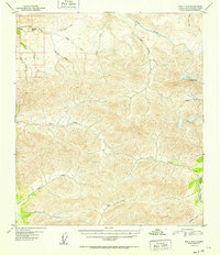
1952 · Healy D-3
USGS Topo · 1:63,360
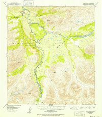
1952 · Healy C-4
USGS Topo · 1:63,360
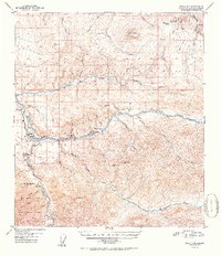
1952 · Healy D-4
USGS Topo · 1:63,360
1952 · Healy C-3
USGS Topo · 1:63,360

1956 · Healy
USGS Topo · 1:250,000