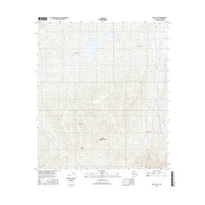
2016 Map of Healy D-6 SE
USGS Topo · Published 2016About this map
Denali National Park encompasses the southern portion of this 2016 survey, where the rising elevations of the Alaska Range dominate the horizon. This terrain is defined by its dramatic glacial drainage patterns, as several significant watercourses flow northward through the mountain foothills. The Teklanika River and Sushana River carve deep paths through the landscape in the western and central sections, while the Sanctuary River defines the eastern boundary of the sheet. The map illustrates the wilderness character of the subarctic interior, showing a landscape shaped by these braided river systems and high-elevation contours, with almost no human infrastructure present beyond the formal boundaries of the national park. The cartography provides a clear record of the hydrography and topographical relief within this protected Alaskan wilderness during the early 21st century.
Find a feature on this map
9 named features on this map. Tap any name to fly to it.
Don’t see what you’re looking for? This feature index may not catch every label — zoom into the map to look around manually.
Map Details
Editions of this 2016 Healy D-6 SE Map
This is the sole edition of this map. No revisions or reprints were ever made.
Other maps of this area

1951 · Healy
USGS Topo · 1:250,000

1951 · Healy D-6
USGS Topo · 1:63,360

1951 · Healy D-5
USGS Topo · 1:63,360

1952 · Healy D-5
USGS Topo · 1:63,360

1952 · Healy C-5
USGS Topo · 1:63,360

1953 · Healy C-5
USGS Topo · 1:63,360

1954 · Healy C-6
USGS Topo · 1:63,360
1954 · Healy D-6
USGS Topo · 1:63,360

1956 · Healy
USGS Topo · 1:250,000
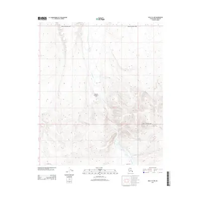
2014 · Healy D-6 NW
USGS Topo · 1:25,000