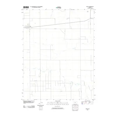
2009 Map of Healy
USGS Topo · Published 2009About this map
Healy serves as the primary hub of this Western Kansas landscape, positioned along a grid of section roads that define the rural character of Lane County. The settlement's street plan sits at the intersection of local routes, providing a structured contrast to the meandering paths of the Middle Fork Walnut Creek and North Fork Walnut Creek. These waterways, along with Cheyenne Creek, represent the essential drainage system of the High Plains, carving subtle valleys through the agricultural sections.
Find a feature on this map
13 named features on this map. Tap any name to fly to it.
Don’t see what you’re looking for? This feature index may not catch every label — zoom into the map to look around manually.
Map Details
Editions of this 2009 Healy Map
This is the sole edition of this map. No revisions or reprints were ever made.
Other maps of this area

1955 · Scott City
USGS Topo · 1:250,000

1958 · Scott City
USGS Topo · 1:250,000

1974 · Cheyenne Creek
USGS Topo · 1:24,000

1974 · Dighton
USGS Topo · 1:24,000

1974 · Healy NW
USGS Topo · 1:24,000

1974 · Grigston
USGS Topo · 1:24,000

1974 · Amy
USGS Topo · 1:24,000

1974 · Shields NW
USGS Topo · 1:24,000

1974 · Manning
USGS Topo · 1:24,000

1974 · Healy
USGS Topo · 1:24,000