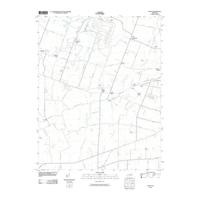
2010 Map of Heath
USGS Topo · Published 2010About this map
The Old Kentucky Ordnance Works dominates the northern landscape of this McCracken County region, a site established for TNT production during World War II. By the early 21st century, the area surrounding Heath and Grahamville exhibits a blend of this industrial legacy and a deep-rooted rural character defined by numerous family and church graveyards. Small settlements like Cimota City, Lamont, and Future City are connected by a network of local roads such as Woodville Rd and Hinkleville Rd. To the east, the Barkley Regional Airport marks a significant modern infrastructure point near the West Fork of Massac Creek. The terrain is carved by numerous waterways including Bayou Creek and Little Bayou Creek, which run northward toward the Ohio River. Genealogists will find a high density of burial sites, from the Harmony Cemetery to the Quarles Cemetery, reflecting generations of local family history.
Find a feature on this map
70 named features on this map. Tap any name to fly to it.
Don’t see what you’re looking for? This feature index may not catch every label — zoom into the map to look around manually.
Map Details
Editions of this 2010 Heath Map
This is the sole edition of this map. No revisions or reprints were ever made.
Other maps of this area

1926 · Paducah
USGS Topo · 1:62,500

1928 · La Center
USGS Topo · 1:62,500

1929 · Paducah
USGS Topo · 1:62,500

1932 · La Center
USGS Topo · 1:62,500

1936 · Melber
USGS Topo · 1:24,000

1940 · Paducah
USGS Topo · 1:62,500

1949 · Paducah
USGS Topo · 1:250,000

1950 · Paducah
USGS Topo · 1:250,000

1951 · Blandville
USGS Topo · 1:24,000

1951 · Melber
USGS Topo · 1:24,000