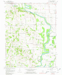
1964 Map of Heathsville
USGS Topo · Published 1981About this map
The Wabash River meanders along the Illinois-Indiana state line, defining the agricultural and industrial character of the mid-1960s. The landscape is marked by the Indian Treaty Boundary, which cuts diagonally across the terrain north of Richwoods. Small rural settlements like Heathsville and the southern edge of Palestine anchor the region, supported by a network of oil wells, gas storage wells, and gravel pits.
Find a feature on this map
56 named features on this map. Tap any name to fly to it.
Don’t see what you’re looking for? This feature index may not catch every label — zoom into the map to look around manually.
Map Details
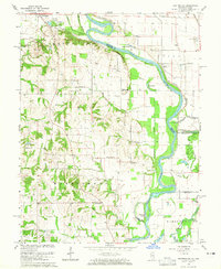
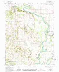
Editions of this 1964 Heathsville Map
3 editions found
Other maps of this area

1917 · Birds
USGS Topo · 1:62,500

1942 · Birds
USGS Topo · 1:62,500

1943 · Merom
USGS Topo · 1:24,000

1943 · Carlisle
USGS Topo · 1:24,000

1943 · Oaktown
USGS Topo · 1:24,000

1943 · Sullivan
USGS Topo · 1:24,000

1953 · Indianapolis
USGS Topo · 1:250,000

1956 · Indianapolis
USGS Topo · 1:250,000
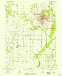
1956 · Sullivan
USGS Topo · 1:24,000

1956 · Vincennes
USGS Topo · 1:250,000