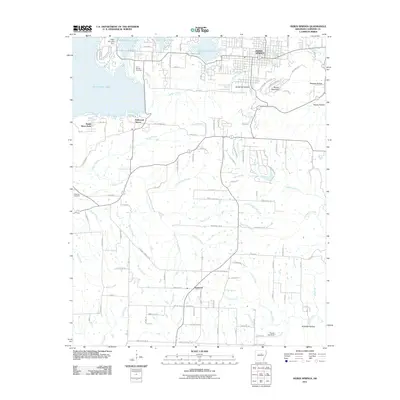
2011 Map of Heber Springs
USGS Topo · Published 2011About this map
Heber Springs serves as the focal point of this Cleburne County landscape, where the waters of Greers Ferry Lake dominate the northwestern horizon. The town's historical connection to its mineral waters is evidenced by the Seven Natural Springs located near the center of the settlement. The map illustrates a complex drainage system where Sulphur Creek and Cunningham Creek carve through the terrain, leading toward several distinct hollows such as Bridal Veil Hollow and Happy Hollow.
Find a feature on this map
129 named features on this map. Tap any name to fly to it.
Don’t see what you’re looking for? This feature index may not catch every label — zoom into the map to look around manually.
Map Details
Editions of this 2011 Heber Springs Map
This is the sole edition of this map. No revisions or reprints were ever made.
Other maps of this area

1890 · Batesville
USGS Topo · 1:125,000

1891 · Batesville
USGS Topo · 1:125,000

1892 · Mountain View
USGS Topo · 1:125,000

1894 · Mountain View
USGS Topo · 1:125,000

1953 · Memphis
USGS Topo · 1:250,000

1956 · Memphis
USGS Topo · 1:250,000

1956 · Russellville
USGS Topo · 1:250,000

1963 · Rose Bud
USGS Topo · 1:24,000

1963 · Quitman
USGS Topo · 1:24,000

1963 · West Pangburn
USGS Topo · 1:24,000