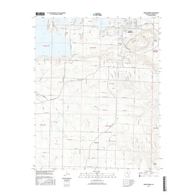
2017 Map of Heber Springs
USGS Topo · Published 2017About this map
Heber Springs sits at the heart of this landscape, its street grid extending south from the shores of Greers Ferry Lake and Sulphur Creek. The map documents a town defined by its topography and hydrology, with the prominent Round Mountain rising to the east and the namesake Seven Natural Springs located near the town center. To the south, the terrain becomes more dissected by a network of drainage systems including Cadron Creek, Badders Creek, and the Waterfall Branch.
Find a feature on this map
176 named features on this map. Tap any name to fly to it.
Don’t see what you’re looking for? This feature index may not catch every label — zoom into the map to look around manually.
Map Details
Editions of this 2017 Heber Springs Map
This is the sole edition of this map. No revisions or reprints were ever made.
Other maps of this area

1890 · Batesville
USGS Topo · 1:125,000

1891 · Batesville
USGS Topo · 1:125,000

1892 · Mountain View
USGS Topo · 1:125,000

1894 · Mountain View
USGS Topo · 1:125,000

1953 · Memphis
USGS Topo · 1:250,000

1956 · Memphis
USGS Topo · 1:250,000

1956 · Russellville
USGS Topo · 1:250,000

1963 · Rose Bud
USGS Topo · 1:24,000

1963 · Quitman
USGS Topo · 1:24,000

1963 · West Pangburn
USGS Topo · 1:24,000