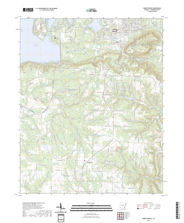
2024 Map of Heber Springs
USGS Topo · Published 2024About this map
Heber Springs serves as the heart of this region, anchored by the Cleburne County Courthouse and a grid of residential and commercial streets. The topography transitions from the urban center to the expansive waters of Greers Ferry Lake and the smaller Lake Eden to the northwest. This area is characterized by a high density of natural water features, including Seven Natural Springs and numerous branches like Pierce Branch and Waterfall Branch that carve through the landscape.
Find a feature on this map
180 named features on this map. Tap any name to fly to it.
Don’t see what you’re looking for? This feature index may not catch every label — zoom into the map to look around manually.
Map Details
Editions of this 2024 Heber Springs Map
This is the sole edition of this map. No revisions or reprints were ever made.
Other maps of this area

1890 · Batesville
USGS Topo · 1:125,000

1891 · Batesville
USGS Topo · 1:125,000

1892 · Mountain View
USGS Topo · 1:125,000

1894 · Mountain View
USGS Topo · 1:125,000

1953 · Memphis
USGS Topo · 1:250,000

1956 · Memphis
USGS Topo · 1:250,000

1956 · Russellville
USGS Topo · 1:250,000

1963 · Rose Bud
USGS Topo · 1:24,000

1963 · Quitman
USGS Topo · 1:24,000

1963 · West Pangburn
USGS Topo · 1:24,000