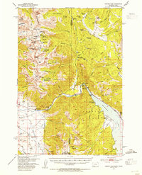
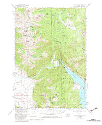
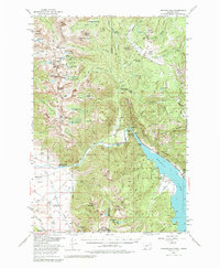
1950 Map of Hebgen Dam
USGS Topo · Published 1954About this map
The Hebgen Dam and its eponymous reservoir dominate this high-altitude landscape within the Gallatin National Forest, documented just years before a massive earthquake would forever alter the geography of the area. This survey details a network of early recreational and administrative sites, including the Beaver Creek Ranger Station, Campfire Lodge, and several campgrounds like Halford Camp and Rock Creek Campground. The map reveals the balance between preservation and industry, noting an Asbestos Mine (Inactive) alongside family-owned landmarks like the Oliffe Ranch and Stagger Ranch.
Find a feature on this map
98 named features on this map. Tap any name to fly to it.
Don’t see what you’re looking for? This feature index may not catch every label — zoom into the map to look around manually.
Map Details
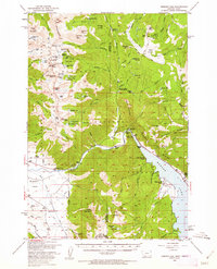
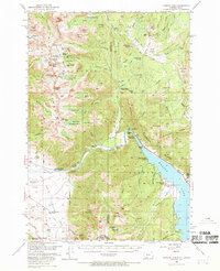
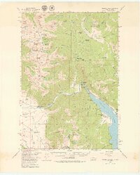
Editions of this 1950 Hebgen Dam Map
7 editions found
Other maps of this area

1888 · Three Forks
USGS Topo · 1:250,000

1894 · Three Forks
USGS Topo · 1:250,000

1895 · Three Forks
USGS Topo · 1:250,000

1947 · Bozeman
USGS Topo · 1:250,000

1948 · Bozeman
USGS Topo · 1:250,000

1950 · Cliff Lake
USGS Topo · 1:62,500

1950 · Hebgen Dam
USGS Topo · 1:62,500

1950 · Cameron
USGS Topo · 1:62,500

1950 · Sphinx Mountain
USGS Topo · 1:62,500

1950 · Upper Red Rock Lake
USGS Topo · 1:62,500