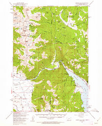
1950 Map of Hebgen Dam
USGS Topo · Published 1962About this map
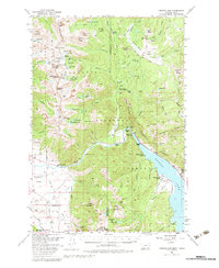
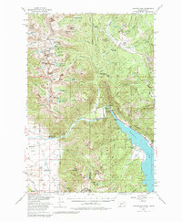
The Hebgen Dam and the sprawling waters of Hebgen Lake dominate this high-country landscape, where the Madison River transitions into a major reservoir. Surveyed before the major earthquake that would later reshape this canyon, the map records a specific era of mountain recreation and ranching. Family-run operations like Watkins Creek Ranch, Stagger Ranch, and Olifee Ranch are scattered throughout the flats and river bottoms, while the presence of Hilgard Lodge and Campfire Lodge near the dam indicates a well-established tourism economy.
Find a feature on this map
104 named features on this map. Tap any name to fly to it.
Don’t see what you’re looking for? This feature index may not catch every label — zoom into the map to look around manually.
Map Details
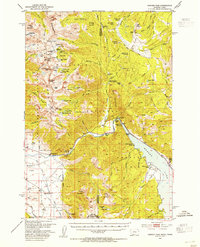
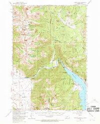
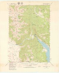
Editions of this 1950 Hebgen Dam Map
7 editions found
Other maps of this area

1888 · Three Forks
USGS Topo · 1:250,000

1894 · Three Forks
USGS Topo · 1:250,000

1895 · Three Forks
USGS Topo · 1:250,000

1947 · Bozeman
USGS Topo · 1:250,000

1948 · Bozeman
USGS Topo · 1:250,000

1950 · Cliff Lake
USGS Topo · 1:62,500

1950 · Hebgen Dam
USGS Topo · 1:62,500

1950 · Cameron
USGS Topo · 1:62,500

1950 · Sphinx Mountain
USGS Topo · 1:62,500

1950 · Upper Red Rock Lake
USGS Topo · 1:62,500